Year: 2001 (October 8, 2001)
11″ x 8.5″
Media: Canon® Pro Platinum High Gloss Photo Paper
Printers: Canon® PIXMA
Color
Art: Photo
Artist: Luc Paquin
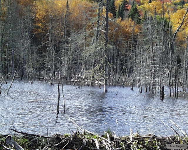
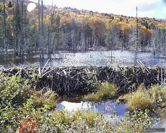
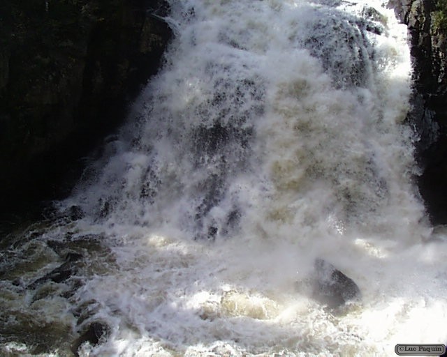
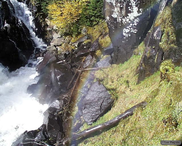
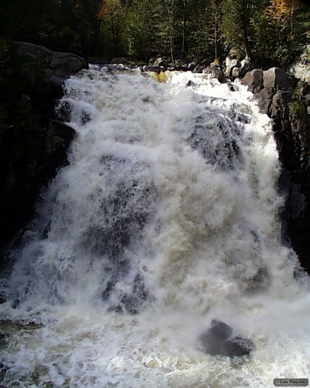
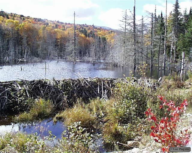
Mont-Tremblant National Park, Quebec, Canada
Mont-Tremblant National Park
History
In 1938, an American named Joe Ryan makes a ski resort on the Mont-Tremblant and makes change provincial legislation to include the use of public park and place of recreation. A research station opened at Lake Monroe in 1948 and an initial public camping born at Lake Chat 1958, which marked the kickoff for the creation of several recreational facilities in the valleys of the Devil and northern Saint-Donat. In 1961, the park changed its name to “Parc du Mont-Tremblant”.
In 1977, the province changed the philosophy of conservation and adopted the “Law on Parks”. This new law precluded commercial and industrial exploitation of natural resources in the parks. The old parks were given priority and the park was granted the status of “recreation park” in 1981, with the exception of an area of 242 square kilometres which was included in park in 1990. The northern half of the park became in turn the Rouge-Matawin Wildlife Reserve (réserve faunique Rouge-Matawin). The government revived further consultations in 1998, who produced minor boundary changes and the change in status for “conservation park” in 2000. He became the “Mont-Tremblant National Park” after abandoning the status of recreation park by the province in 2001.
Luc