Year: 2001 (October 8, 2001)
11″ x 8.5″
Media: Canon® Pro Platinum High Gloss Photo Paper
Printers: Canon® PIXMA
Color
Art: Photo
Artist: Luc Paquin
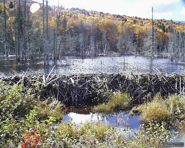
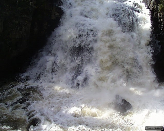
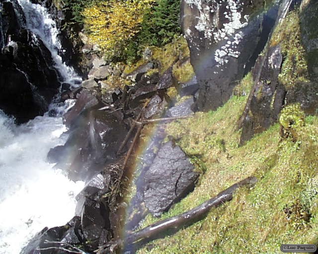
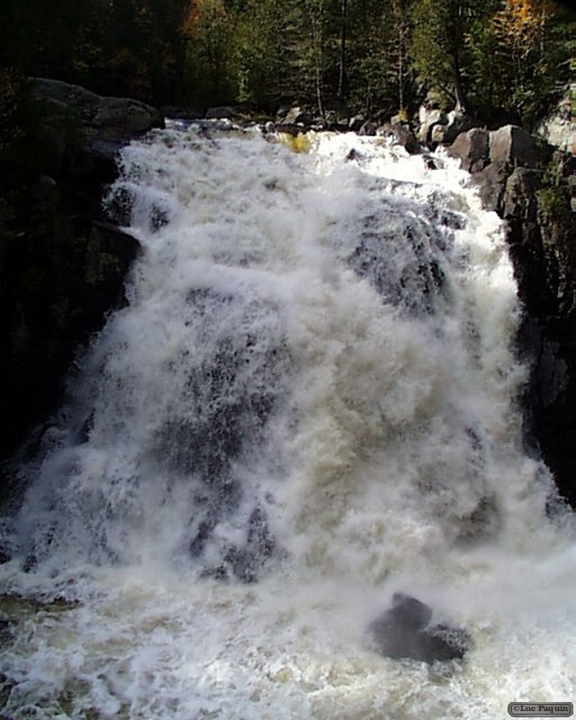
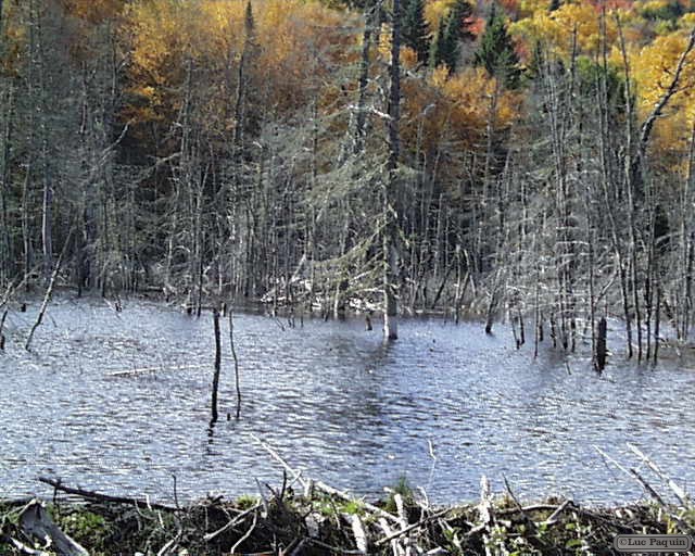
Mont-Tremblant National Park, Quebec, Canada
Mont-Tremblant National Park
Hydrography
The park is divided in three sub-watersheds, namely the Rouge (through the Diable River) of The Assumption and the Matawin. Streams and forms lakes are greatly influenced by the shortcomings of the Canadian Shield. There are over 400 lakes in the park, including the largest, Lake Cypress, is 9 square kilometres. Most lakes are located in the northern part of the park, the southern portion having a rugged landscape. The position of the park at the head of several watersheds ensures good water quality in streams.
History
The Algonquin called the massive “Manitonga Soutana” (Mountain of Spirits or the Devil). They claimed that the mountain emitted rumblings and swayed under their feet. Logging began in the region in the 1850s. This is the 12 the “Park of Trembling Mountain” was created after the project to install a sanatorium, which will never see the day. Unlike vision of “preservationist” was prevailing in United States and Canada and that exempted the park from exploitation, the province preferred a vision “conservationist” which promoted a reasonable use of the natural resources. That’s what made that logging remained in the park until 1981. The park, originally an area of 60 square kilometres and enlarged of 3,108 square kilometres in 1925.
Luc